


Customizing your GIS to fit your needs.
A Geographic Information System (GIS) combines data from paper and electronic records to create an interactive, map-based computer system that allows you to store, sort, visualize, and quickly find all of your information.
Prein&Newhof can customize your GIS to fit your needs, turning data into visual information that helps you make smarter decisions.
We create custom web or desktop applications to help communities get the most out of their GIS, and we provide training and on-going support.
Our GIS services include:
- Data Collection & Creation
- Database Design
- Document Management Integration with GIS
- Scanning & Data Conversions
- Data Analysis
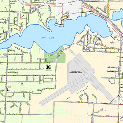
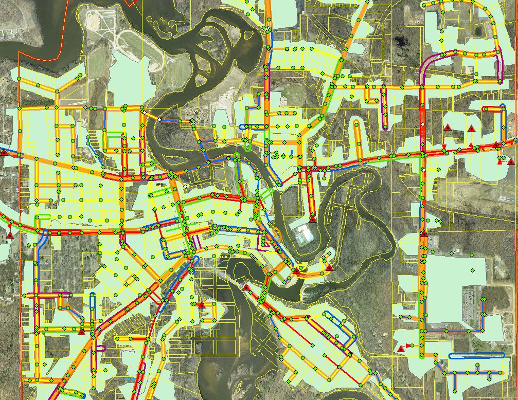
- Base/Street & Utility Mapping
- Tax/Parcel Mapping
For a GIS that does more than you expected and exactly what you need, contact us.