Prein&Newhof had seen the benefit to communities of having asset management plans—long-term strategies for prioritizing and funding system improvements – for wastewater, storm water, drinking water, and road systems. A community’s park system is no different. Keeping track of all the physical assets that make up a community’s park system helps park managers achieve the lowest long-term cost of maintaining those assets.
Prein&Newhof is working with Park Township, a community of 17,579 people north of Holland, to develop their first-ever Parks Asset Management Plan (AMP). The idea for the project came from Matt’s experience at Ottawa County Parks developing their park database for future expenditure planning.
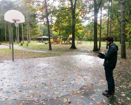
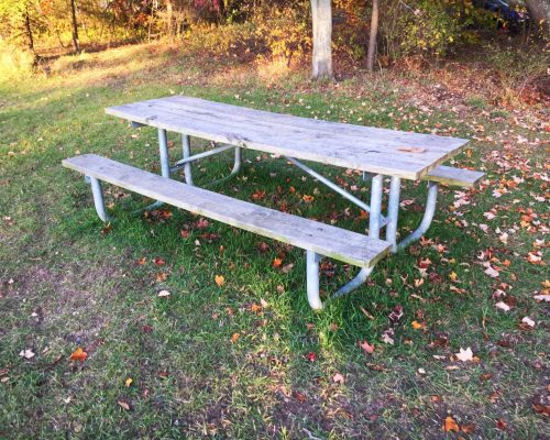
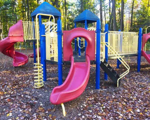
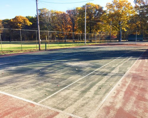
Prein&Newhof used GPS units and a digital camera to inventory and map fixed assets, including:
- Parking Lots
- Sidewalks
- Buildings
- Shelters
- Boat launches
- Trails
- Boardwalks
- Stairs
- Signs
- Tables
- Benches
- Playgrounds
- Ball fields
- Basketball courts
- Maintenance equipment
Prein&Newhof then uploaded the location, age and condition of park assets into a database linked to Geographic Information Systems (GIS). GIS is a valuable tool that allows data layering and big-picture visualizations that would Park Township answer questions such as:
- What recreational opportunities are available?
- How many miles of hiking trails are available? What kind of trails are they? Are they accessible?
- Where are protected natural areas and how big are they?
- How much asphalt or boardwalk are we maintaining?
- What are our capital improvement needs and do we have enough money to pay for them?
The information from the asset management plan will inform the Township’s Five–Year Recreation Master Plans and Capital Improvement Plans by giving a current snapshot of all assets’ conditions and projecting costs of future improvements and maintenance.


